Several thousand satellites currently orbit our planet. Without them, everything on Earth would be different: from communications satellites, which provide Internet or live TV broadcasts, to navigation satellites, which ensure that we always reach our destinations safely on land, in the air or by sea. Satellite data is immensely important for us and will continue to play an increasingly important role moving forward. It supports us in important areas such as climate research, environmental monitoring, disaster prevention, agriculture and also in the optimization of business processes.
Energy
Most wind farms off the German North Sea and Baltic Sea coasts are located in the open sea, more than 100 nautical miles from land. By combining wireless cellular and satellite network technologies, it is possible to enable communications services adapted to user needs. However, satelliltes can also support wind-farm planning.
Logistics
To efficiently implement digitization of business processes, a combination of state-of-the-art software architecture, smart sensors and satellite data, warehouse and transport management software with intuitive user interface and automatic planning processes in real time for the entire intralogistics can be perfect adapted to you.
Shipping
In addition to navigation systems, the Automatic Identification System (AIS) is also a satellite-based application. AIS messages include a unique identifier as well as positioning, course and speed data together with many other types of information and are exchanged between ships so that captains can plan their routes ahead and avoid collisions at sea.
Railroad industry
Earth observation can also ensure greater safety in the rail industry. For example, satellite monitoring of tracks can detect fallen trees at an early stage. Satellite data can also help in the planning of construction projects or in monitoring the communications infrastructure. The goal is always to ensure the most efficient rail operations possible.
Climate
Climate change is one of the greatest challenges facing humanity in the 21st century. Satellite data helps to track important climate indicators, such as heat islands in cities, green areas, forest cover, vegetation types, surface reflectivity (albedo), heat distribution, fire hazards, cold air flows and much more. As well as this, the use of satellite data through simulation (for example, of an urban area) allows past and future climate strategies to be evaluated and benchmarked.
With the help of LogTwin, all your intralogistics processes can be mapped digitally in 3D in real time and there is no need to scan goods movements at all. You no longer need to use a sheet of paper - neither for marking the goods nor for managing them. The system knows at all times where your goods are located, thus reducing search times on the premises to zero - both inside and outside. Storage areas can be flexibly processed at any time, storage scenarios can be periodically pre-planned automatically and transport orders can be created automatically. Transform your intralogistics with OHB LogTwin.
Europe's metropolises are increasingly suffering from the consequences of climate change. In particular, prolonged heat waves pose a threat to the health of the population. To counter this threat, it is important to understand its causes and identify suitable countermeasures in good time. Against this background, the EU is funding the project "Next Generation City Climate Services Using Advanced Weather Models and Emerging Data Sources", in short: CityCLIM, in the Horizon 2020 program. The aim of the project is to develop a cloud-based data platform that provides various weather and climate services specifically for cities based on data from weather models, earth observation and ground measurements. Implementation is being carried out by a consortium of companies in collaboration with scientific working groups and four selected European model cities.
The SMART2-Project takes a holistic approach to autonomous obstacle detection (OD&TID) for rail traffic and includes areas behind a curve, embankment, tunnels and other elements that block the train's view of the tracks. The cloud solution integrates three OD&TID subsystems and suggests a final decision on possible train control measures. The recorded data is processed locally, and the OD&TID subsystems finally inform (as the core of the cloud service) the Decision Support System about possible obstacles and intrusions into the fields of view. In doing so, the SMART2 platform will be flexible and open to the connection of additional OD&TID modules based on future technologies. The SMART2 project aims to develop a working prototype of the envisaged holistic OD&TDI, which will be evaluated in various real railroad application scenarios.
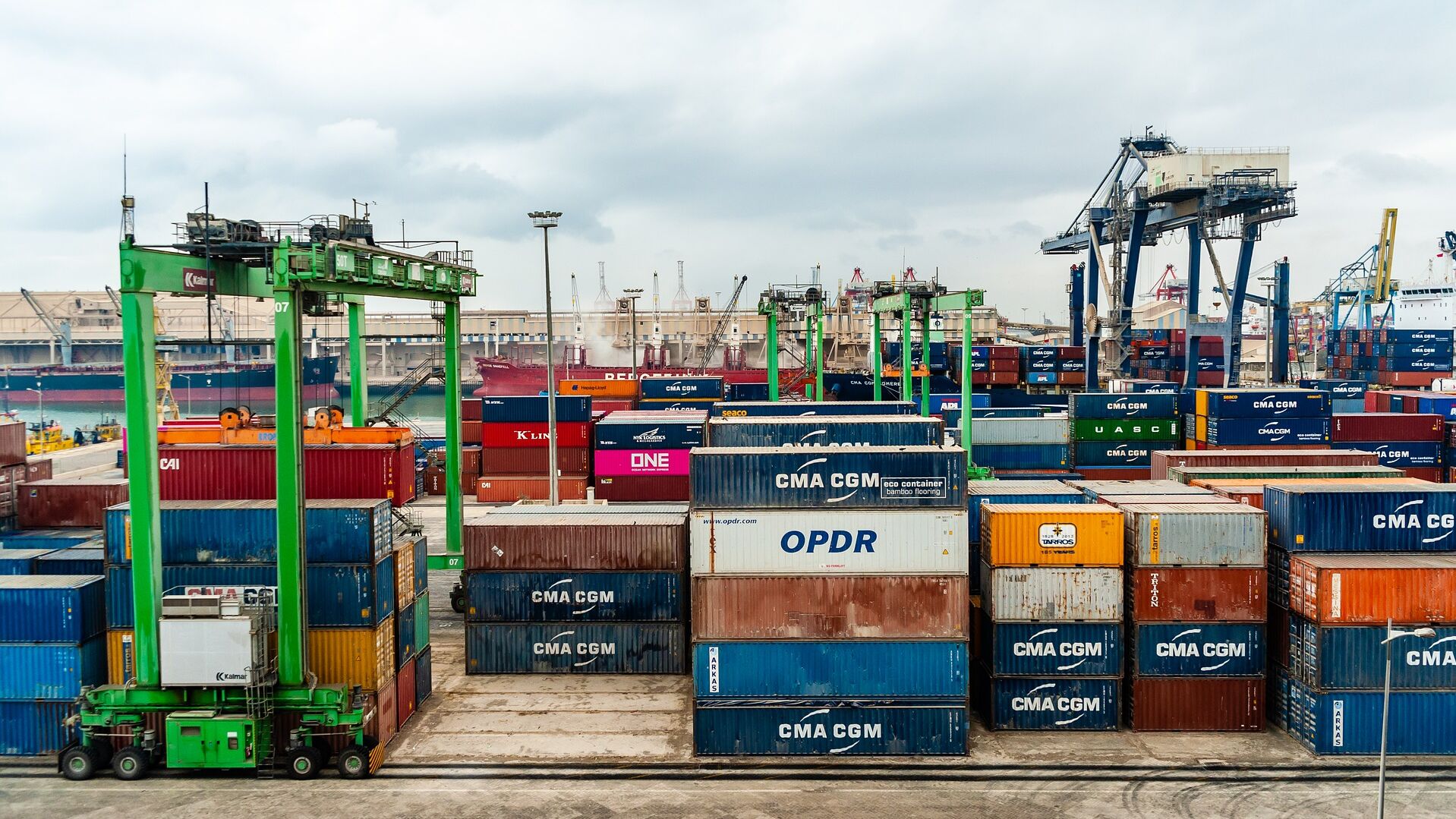
The objective of this project is to identify, characterize and assess the technical feasibility and economic viability of services around the "port of the future" that can benefit from the use of space-based data. This includes the technical feasibility and economic viability of satellite-based services and solutions related to the development of the port ecosystem, as well as the identification of technical and economic risks related to the implementation of such services, including possible mitigation measures. Furthermore, the involvement of customers and other relevant users and stakeholders for these services, the business model for the provision of the proposed services, and a roadmap to identify the necessary actions and people to be involved for implementation and commercial expansion play an important role. To provide the required services, space-based data will be combined with other data sets such as aerial imagery (for example, collected with remotely piloted aircraft systems), local data, and data from other sources (e.g., statistics, maps).
During the construction phase of an offshore wind farm, several hundred workers are working at sea on multiple vessels and platforms: installation vessels, tugs, supply vessels, cable vessels, etc. All vessels need to communicate and exchange information with their shore-based offices to coordinate the ongoing work and ensure that all activities are carried out according to plan.
The Com4Offshore approach provides users with the technically and economically optimal solution, regardless of their location, by combining cellular, mobile and satellite network technologies. This enables access for standard devices such as smartphones, tablets and notebooks with seamless coverage of the relevant offshore construction areas and with communications services adapted to user needs.


